Hawaii reef-monitoring enterprises: who buys marine data and what a pilot must prove
How Hawaii reef-monitoring firms can sell data to resource managers, not tourists, and what a small pilot must prove before scaling.
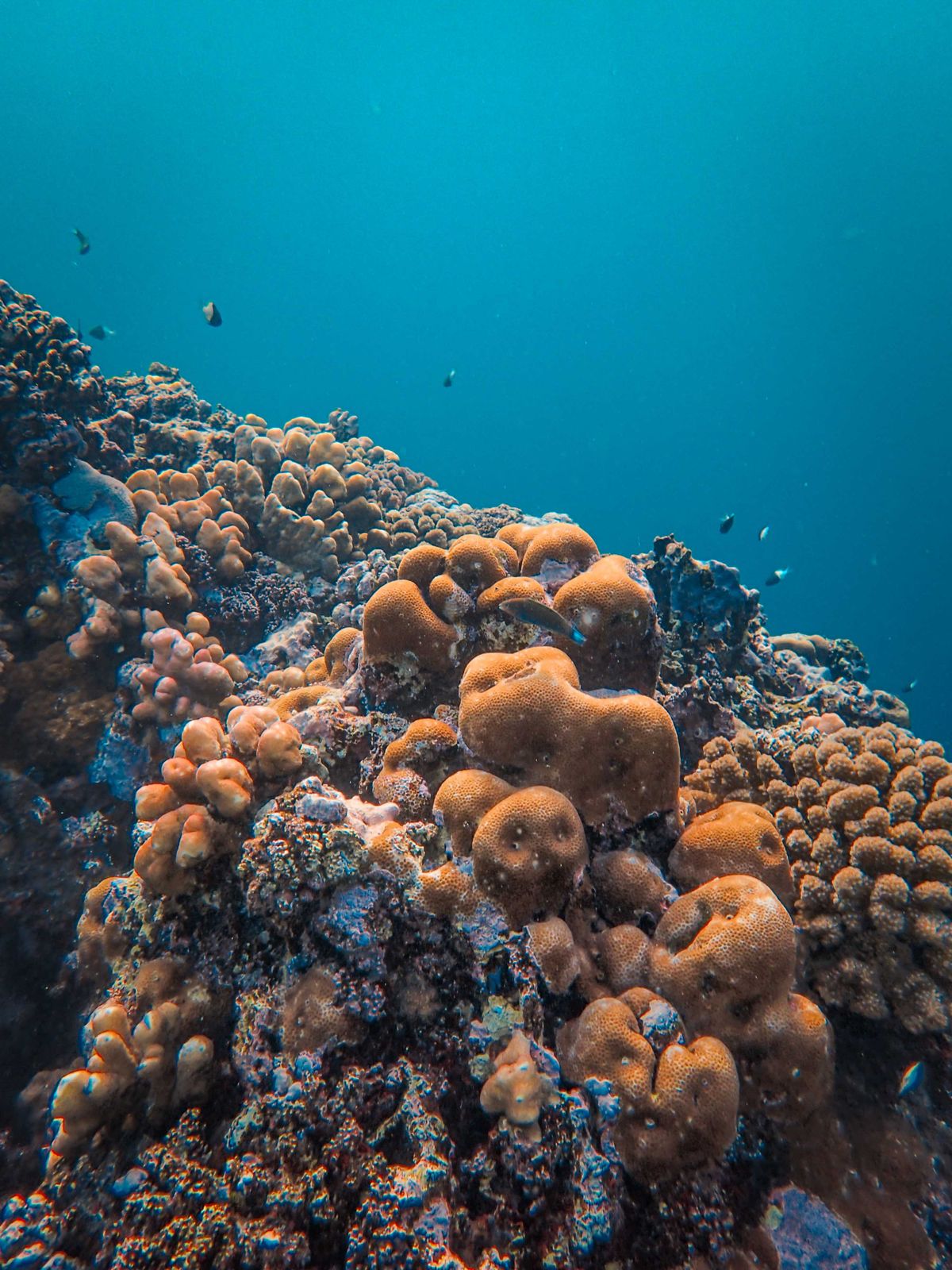
Illustrative editorial photograph · Pexels. Not a photograph of a marketplace listing.
An approved marine-monitoring pilot may bring a specialist to Oahu for a sustained period of field coordination and reporting. The opportunity connects to monthly housing through that actual project schedule, not through unrestricted access to reef sites or an assumed research placement.
Hawaii’s reef-monitoring market is not built around generic environmental curiosity; it is built around decisions. A buyer such as a state manager, marine consultant, university partner, or federal program wants repeatable observations that can support closure reviews, habitat management, restoration planning, or compliance documentation. That is why a company entering this space has to think less like a camera rental service and more like a marine information contractor. The practical question is whether a pilot can produce usable marine monitoring outputs from fieldwork, under real permits, with defensible data quality. NOAA’s Hawai‘i reef mission shows the standard to aim for: long-term, high quality data on coral reef communities, fish populations, oceanographic conditions, and ocean chemistry in Hawai‘i, including work around Papahānaumokuākea and the main islands (NOAA Fisheries monitoring overview).
An Oahu living base for an approved marine-data project
Separate ordinary accommodation from field logistics. Ask about daily transport and home-work needs, but arrange sample handling, vessel access and specialist equipment through authorized facilities. Confirm dates before making a housing commitment around unsettled permits. Month ‘n’ More helps you find furnished monthly stays and contact owners about the actual home and your dates; it does not place workers or award business contracts.
Owners should describe a place to live, not a marine field station, sample-processing space or home that grants access to protected coastal locations. If the home is suitable, list a furnished monthly property on Month ‘n’ More and describe only what you can genuinely offer. This is a possible use case to evaluate, not measured or guaranteed rental demand.
marine monitoring in Hawaii is a data business, not a generic ocean services business
The strongest commercial buyers are the ones that already use reef observations to make policy or management choices. Hawaii’s Division of Aquatic Resources describes a Marine Monitoring Program that uses multiple methods developed with NOAA, USGS, and UH, and it specifically tracks fish abundance, urchins, benthic habitat cover, coral health, and biological diversity. That matters because it tells a startup what kinds of deliverables have recognized utility: site comparisons, trend reports, GIS-ready layers, photo documentation, and repeat surveys that can be defended against change-over-time questions. The same page also shows why narrow “pretty video” offers are weak; managers need structured information, not only imagery (DLNR monitoring program).
A useful business niche is to serve organizations that need interim survey capacity or specialized field support but do not maintain full-time local crews. That might include conservation nonprofits, engineering firms with coastal projects, restoration contractors, resort environmental teams, and academic partners who need surge support. Proven customer demand is strongest where a buyer has an existing monitoring obligation or an adaptive-management question. Less certain demand comes from one-off storytelling projects, public-facing dashboards, or speculative “reef health scores” that cannot be traced to accepted methods.
Why Oahu is a practical base for a reef-data startup
Oahu deserves attention not because it is the only island with reef work, but because it concentrates logistics, agencies, and travel connections. For a field team, Oahu can reduce the friction of securing gear, meeting clients, and staging trips to nearby survey sites. It also puts you closer to state and federal staff who often review methods, permits, and deliverables. But the island choice should follow the work pattern. If most revenue will come from west Hawai‘i sites or Maui restoration contracts, Oahu can still work as an administration and data-processing base, but it increases interisland fieldwork costs and makes weather delays more consequential.
This is where relocation and housing decisions become part of the business plan. A reader testing the market may not need to move permanently at first. Temporary housing near the likely work corridor can be smarter, especially if the first projects involve early launches, gear staging, or repeat boat departures. A furnished monthly stay near a harbor, lab, or client office can help a founder live within the same schedule as the fieldwork. If you are comparing locations, use Month ’n’ More search for monthly stays to identify a short-term base that matches your survey calendar rather than guessing from a map. If you already own or control a property and want to test whether it could support an owner-used monthly stay while you operate the business, the listing path at Month ’n’ More list-your-place may be relevant, but it does not by itself make a site suitable for work, internet reliability, or regulatory use.
Permits, access, and fieldwork constraints that shape the offer
Reef-monitoring firms often fail by pricing the science and forgetting the access burden. In Hawai‘i, a pilot may need site-specific permissions, vessel coordination, dive safety planning, cultural sensitivity, and timing that fits seasonal swell and community use. ‘Permits’ is therefore one of the key commercial terms in this field: not because a permit is a marketing badge, but because without it your survey schedule can collapse. The same is true for protected or managed areas, where work can require additional review, not just the ability to launch a boat. If your service promise depends on rapid response, the buyer needs to understand that ocean access can be limited by weather, safety windows, and agency approvals.
The operational trade-off is between full-service monitoring and modular services. A full-service package may include site planning, fieldwork, QA/QC review, GIS products, and a final report. A modular offer might only handle benthic photo-transects or data processing from client-collected footage. Modular work can lower capital exposure, but it also narrows your ability to control data quality. Full-service work has more margin potential in theory, but it increases the cost of boats, insurance, training, and staffing. For many startups, the sensible first step is a limited-scope service with one survey method, one buyer type, and a narrow geography.
What a first pilot must prove: a hypothetical example
Example: a two-person startup on Oahu offers standardized benthic imaging and fish-count support to a restoration nonprofit managing a small coastal site on the windward side. The pilot runs one monthly survey cycle for three months, with the company delivering georeferenced imagery, a simple habitat-cover summary, and a method memo that explains repeatability. The explicit success metric is whether the buyer can use the data in its internal management review without requesting a resurvey. The no-go condition is any pattern of missing metadata, inconsistent site relocation, or image sets that cannot support a repeatable comparison. If the team cannot keep location error, photo overlap, and field notes consistent across all three cycles, the business should not scale that service yet.
This example matters because it tests both scientific and commercial fit. If the buyer accepts the deliverable but asks for less field effort than expected, the startup may have found a leaner product. If the buyer likes the output but refuses to pay enough to cover boat time, staff training, and analysis labor, then the business should pivot to a different method or customer segment. In reef monitoring, success is not measured by how many dives were completed; it is measured by whether the data changed a management choice or reduced uncertainty for a buyer.
Who buys marine data in Hawaii, and what each buyer cares about
The likely buyers fall into a few distinct groups. State and local resource managers want trend data that fits existing management zones. Federal programs and sanctuaries need consistency with established monitoring frameworks. Universities and research partners may buy subcontracted field support, but they will care intensely about method compatibility and sample integrity. Private coastal projects may need baseline or mitigation-oriented observations, but they usually want schedules and reporting that fit a project timeline. Restoration groups may want before-and-after evidence, especially when success depends on whether herbivores, coral cover, or benthic conditions are shifting in the intended direction.
Local facts from existing programs show why these buyers value continuity. DLNR notes that Maui monitoring began as early as 1993, and that long-term data helped identify declines in reef communities and support the Kahekili Herbivore Fisheries Management Area. The same page reports that coral cover at Kahekili declined from 55% in 1994 to 33% in 2006, which helped guide management action, and that the management area’s rules became effective in July 2009. For a startup, those numbers are not trivia; they demonstrate that buyers use long time-series data to justify intervention, which raises the value of standardized repeat surveys and cautious interpretation.
The West Hawai‘i example is equally instructive. DLNR describes the West Hawai‘i Aquarium Project as using 23 permanent fish monitoring sites surveyed 4–6 times per year, with long-term comparisons across protected, replenishment, and open areas. That tells a potential vendor that a single clean pilot is not enough if the buyer’s question is trend detection. A business that wants to participate in this market must be able to preserve method continuity, not just collect attractive footage.
Practical due diligence before you invest in boats, sensors, or staff
- Confirm the exact data type the buyer needs: fish counts, benthic cover, photo transects, oceanographic readings, GIS layers, or QA-reviewed field logs.
- Verify which permits, site permissions, vessel rules, and safety plans apply to the specific survey area before promising a schedule.
- Map the full cost of fieldwork: boat time, fuel, storage, insurance, dive or crew training, analysis labor, and repeat visits for failed data.
- Decide whether you are selling surveys, analysis, or both; the integration burden changes the margin and the liability profile.
- Build a data-quality protocol before the first deployment: naming conventions, timestamps, geotags, backup storage, and sign-off procedures.
- Check whether your proposed method matches the buyer’s existing program or will require methodological reconciliation before the data can be used.
Because legal and permitting issues vary by site, you should have qualified local advice before signing a contract or mobilizing equipment. That is especially true where work overlaps with protected waters, agency monitoring, or sensitive cultural and ecological areas. Similarly, if you plan to hire crew, lease a vessel, or set up a processing office, you should get appropriate financial and legal review before assuming the structure is adequate for taxes, insurance, licensing, or liability.
Data quality is the product, and relocation should follow the workflow
The focus term data quality is central because buyers in this market do not want raw files they cannot trust. NOAA’s coral monitoring materials emphasize high-quality data, and Hawaii’s state monitoring page shows how repeated methods across time created actionable trends. That means your startup should document how it controls observer variation, file naming, calibration, geolocation, and chain of custody for images and notes. Even modest service lines can fail if the customer cannot compare one survey to the next. For that reason, training is not merely a staff benefit; it is part of the product specification.
Relocation should be decided around the workflow, not around an abstract desire to live in Hawaii. If the first customer is on Oahu and the work involves dawn departures, same-day data review, and frequent equipment handling, a temporary base near the field staging area may be better than signing a long lease far from the harbor. If the first contract is inland office-heavy with occasional sea days, then a quieter monthly stay farther from the launch point may be acceptable. The key is to match housing to the site schedule, gear storage needs, and the reality of fieldwork, not to assume island living itself solves logistics.
For a founder weighing this business, the decision comes down to one test: can you secure a small, method-bound pilot with a buyer who already uses marine monitoring data, then deliver a repeatable dataset that meets its internal standard? If yes, keep the model narrow and scale only after the second or third repeat survey proves consistency. If not, do not buy expensive gear or commit to a long move yet; first tighten the method, the buyer target, and the housing plan around the actual work, then revisit expansion.
For the local context and services discussed here, consult Monitoring the Coral Reefs of Hawai‘i | NOAA Fisheries and Monitoring – Coral Reefs. Check current availability and eligibility with the responsible organization before making a business or relocation commitment.
Make your next month feel more settled.
Related reading

Moving to Oahu: What to Ship and What to Leave Behind
A focused Oahu moving guide on shipping choices, plant and pet rules, arrival paperwork, and what to leave behind before you send a container.

A relocation checklist for your temporary home
A steady, step-by-step plan for finding a place, organizing arrival and making the first few days in a new city less hectic.