A Black Hills Month: Plan Day Trips Without Overpacking
Use a Black Hills month in South Dakota to plan day trips by road, pack lightly, and map each drive around forest road rules and current conditions.
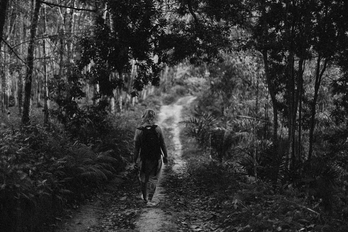
Illustrative editorial photograph · Pexels. Not a photograph of a marketplace listing.
In South Dakota’s Black Hills, the first packing mistake is usually not bringing too little; it is bringing too much for a month centered on day trips. If you are staying in or around the Black Hills and want to use one place as a base for repeated drives, hikes, and scenic loops, the real question is how much road-ready gear you need in the car versus what can stay in your rental. That decision changes with the routes you choose, because the Forest Service points travelers to different current condition pages for the Northwestern, Northern, Central, and Southern Hills, and the Southern Hills page is the one labeled for Custer, SD on the official Black Hills National Forest current conditions page. For a monthlong stay, that means your packing list should be built around where you will actually drive, not around a vague idea of the Black Hills as one uniform destination. If you are comparing possible monthly bases, you can browse monthly stay options in South Dakota and think in terms of drive planning rather than suitcase volume.
Start with the road map, not the duffel bag
A good Black Hills month starts with the roads you expect to use for your day trips. The Forest Service says the Motor Vehicle Use Map is the official map for public motorized travel in the Black Hills National Forest, that routes not shown on the MVUM are closed to public motor vehicle travel, and that the MVUM is updated annually. Those three facts matter because they tell you what belongs in your planning folder: a current MVUM, a visitor map or other detailed map, and a habit of checking whether the road or trail you want is actually open to your vehicle type. The MVUM is also not a topo map, so it is best used alongside a Forest Visitor Map or another detailed map. For a month of day trips, that means you should not pack extra “just in case” roadside gear for every possible spur road; instead, pack the navigation tools that let you confirm your route before you leave the driveway.
A worked example: one base, three different road days
Example: suppose a traveler is staying for a month near Custer and wants to make repeated day trips without filling the trunk with duplicate jackets, coolers, and trail gear. On day one, they plan a Southern Hills drive and hike; on day two, a loop that starts before sunrise and returns by afternoon; on day three, an errand-plus-scenic-road day that stays close to town. For that kind of month, the smartest packing split is between what stays at the base and what lives in the car. Base items can be a larger cooler, a laundry bag, and backup footwear. Car items should be route-specific: a paper or saved MVUM, a detailed forest map, water, snacks, a small first-aid kit, and the exact layers needed for the day’s elevation and exposure. The point is not to carry everything every time. It is to decide, route by route, whether the day trip uses paved roads, forest roads, or motorized use trails that may have different rules.
What the current conditions page changes for your plans
The current conditions page is useful because it separates weather and travel updates from general trip ideas. It says weather conditions from the National Weather Service are updated continually and offers separate forecast areas for Northwestern Hills (Sundance, WY), Northern Hills (Spearfish, SD), Central Hills (Rapid City, SD), and Southern Hills (Custer, SD) on the Black Hills National Forest current conditions page. For a person planning a month of day trips, that means two practical things. First, a route that looks manageable in one part of the Black Hills may deserve a different departure time or different vehicle preparation in another. Second, you can keep your luggage lighter because you are not packing for every possible zone at once; you are packing to adapt after checking the zone you will actually drive. If you are choosing a monthly base through Month n More listings and inquiries, ask yourself whether the place lets you re-pack quickly between day trips, wash dusty clothes, and store larger outdoor items so they do not stay in your vehicle all month.
Pack for the road surface, not for the fantasy itinerary
A month in the Black Hills often tempts people to overpack for hypothetical backcountry adventures. The better method is to match your kit to the roads you will really use. If the day trip is a paved scenic drive with occasional short stops, you do not need the same loadout as a route that uses roads or trails shown on the MVUM. The MVUM’s vehicle-type limits matter because it lists allowed uses by highway-legal vehicles, motorcycles, and vehicles less than 62 inches wide, plus seasonal and distance allowances. That means you should know the exact vehicle category before you assume a route fits your plans. If you are not certain, make that uncertainty part of your decision framework: route name, vehicle type, season, and whether the route appears on the official map. Only after those four checks should you decide what to leave at home. A bulky spare set of camping gear may be unnecessary for a base-and-day-trip month if your actual itinerary is road-based.
A decision framework for a lighter month
Use this framework before each day trip. First, identify the route category: paved road, forest road, or motorized trail. Second, check the relevant official source: the current conditions page for weather/travel and the MVUM for road legality. Third, decide what the day requires in the car and what can remain at your base. Fourth, set a return plan that keeps your bag small by default; for example, bring one outer layer, one spare layer, enough water for the day, and the map you actually need, rather than a full range of seasonal gear. This keeps the month focused on mobility instead of accumulation. It also reduces the chance of carrying items you never use, which matters when you are making repeated drives across the Black Hills and do not want your vehicle to feel like a storage unit.
Questions to ask before you leave the driveway
Before each day trip, ask specific questions that fit this place and this topic. Which section of the Black Hills is my route in, and does the current conditions page point me to the Northern, Central, or Southern Hills forecast? Is the road or trail actually shown on the MVUM, or am I relying on a general map that may not reflect public motorized travel rules? Does my vehicle type match the route’s allowed use? If I am returning the same evening, do I really need a large bag, or just a small daypack that stays organized in the back seat? Do I have the exact map saved where I can use it offline if needed? Those questions are better than asking whether you “have enough stuff,” because they turn the packing decision into a route decision.
A practical checklist for a month of day trips
- Confirm the exact dates of your stay so you can plan a month of day trips around the right base, not around a generic 30-day assumption.
- Check the official Black Hills National Forest current conditions page for the forecast area that matches your route: Northwestern, Northern, Central, or Southern Hills.
- Open the current annual Motor Vehicle Use Map and verify that your intended road or trail is shown for public motorized travel.
- Match the route to your vehicle type and note any seasonal or distance allowances shown on the MVUM.
- Pack one route-appropriate outer layer, one backup layer, daily water, snacks, and the map you will actually use.
- Keep bulkier items at your base whenever the day trip does not require them.
- If you are still looking for a monthly base that supports easy car access, laundry, and quick repacking, compare options on Month n More.
- If you own a place that works well as a base for Black Hills day trips, you can describe the storage, parking, and road access on list your place here so monthly travelers can judge whether it suits this kind of stay.
The simple rule for overpacking less
The rule for a Black Hills month is straightforward: pack for the road you can confirm, not the road you imagine. When the official sources tell you where to check weather, what roads are open to your vehicle type, and which routes are actually part of the motorized network, your suitcase can shrink because your planning gets sharper. That is the real benefit of a month centered on day trips in South Dakota’s Black Hills. You keep the base light, the car organized, and the decision to drive grounded in current information rather than in overpreparedness.
Make your next month feel more settled.
Related reading

Questions to ask before choosing a stay
The useful questions that bring a listing to life, from included costs and furnishings to arrival, internet and the small details of daily living.

Furnished monthly rentals, explained
A clear starting point for understanding what a furnished monthly stay is, what it may include and how to decide if it fits your plans.

Furnishing essentials for monthly stays
A people-first guide to preparing a furnished home: focus on comfort, useful basics and clear expectations instead of filling every shelf.